Geocoding
Geocoding is a starting point for spatially relating data and allows for mission-centric planning.
Geocoding is taking a list of addresses (points) and representing them on a map...
- Any list of valid addresses can be geocoded.
- It is the first step in figuring out how those “things” spatially fit into the world around us, especially in relationship to other “things.”
- It associates attribute or database information with geographic features so that they can be be analyzed and manipulated along with the geographic features.
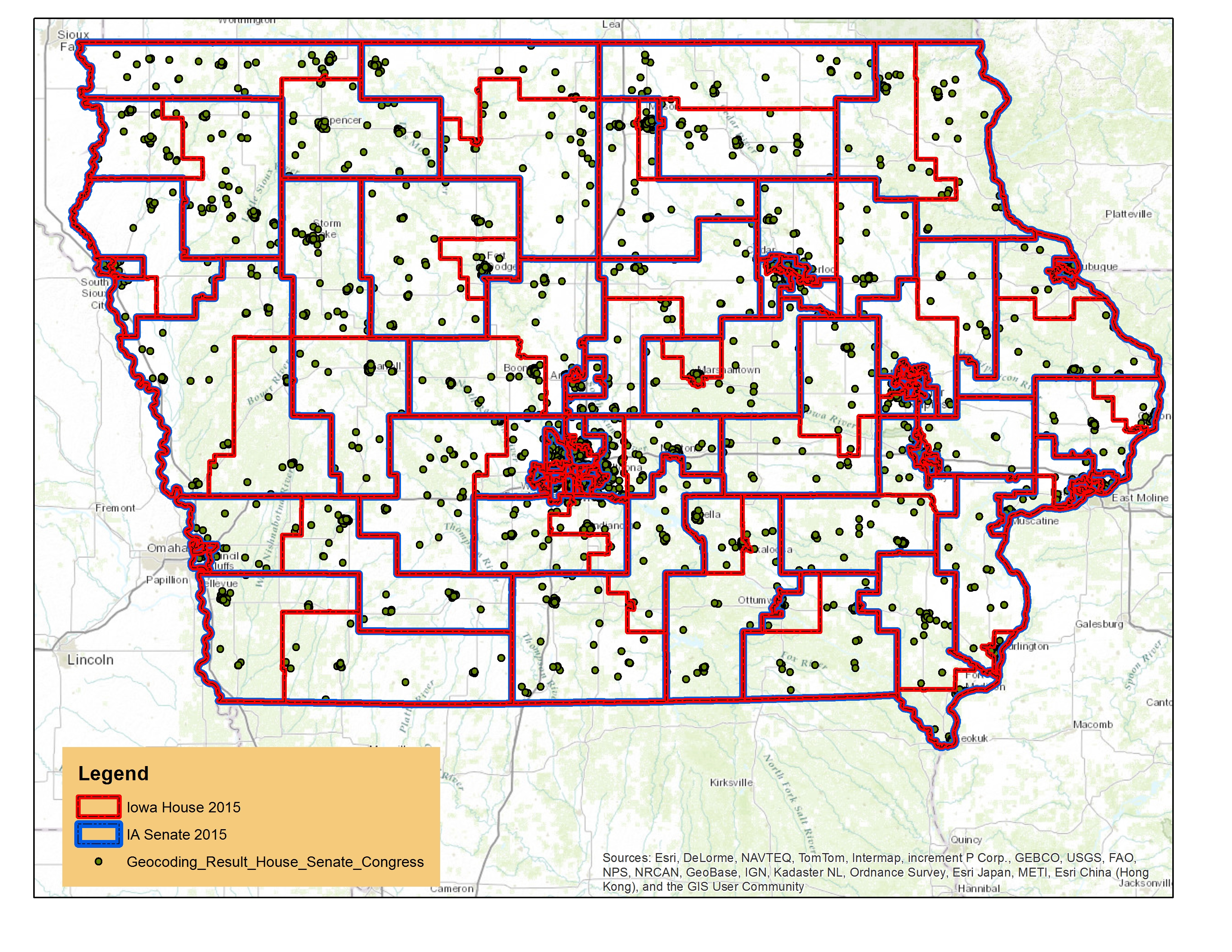
Where are your Advocates?
In the example below: members are geocoded; legislative districts are added to the map; and then legislative districts are added to each member's data.